Here’s a photoblog of my recent mini-gypsy tour of the Salton Sea and Death Valley, 12-15 November 2015, with my friends and fellow Goldwingers Ed and Steve.
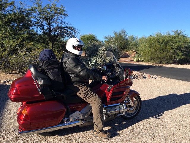
Thursday morning in Tucson was sunny but cold, and I was dressed for it. I wore long johns under my pants and a zip-in thermal liner under the leather jacket. I wore a silk balaclava under the helmet, and toasty ski liners inside the leather gloves. In the saddlebags, in case it got colder or rained, a turtleneck wool sweater, wool gloves, a full rain suit, an extra pair of boots in case the first pair got wet. Also in reserve, for warmer weather, a shorty helmet, mesh ballistic jacket, and lightweight gloves.
Ed’s a friend of long standing, my motorcycle maintenance guru and frequent riding companion. This was my first ride with Steve, who is married to Ed’s wife’s sister. We made our separate ways to an eastside Circle K, met up, and headed west. We rode close to 400 miles on day one, taking back roads to Ajo, Arizona, then cutting north through Gila Bend to Interstate 8 and eventually on to Calexico, California, a border town about 60 miles west of the California state line. Interestingly, as we left Ajo we passed literally hundreds of motorcyclists, most on Harleys, heading for a weekend biker event in Rocky Point, Mexico. We appeared to be the only bikers headed north.
We nearly ran out of fuel before getting to Calexico. Earlier, we had sailed past gas stations in Yuma while low on fuel, confident there’d be plenty of gas stations along the freeway in California. Nope. Not a one until we were in Calexico, gauges on E and fuel low lights burning yellow, sweating every mile as we nursed our throttles for max range. At the pump, once we finally found one, my bike took 6.2 gallons. The tank, with reserve, holds 6.5, so it turned out we had more gas left than we thought.
I had no idea Calexico was such a major border crossing point. Cars and trucks were lined up for a couple of miles waiting to cross into Mexico, and there was a constant two-lane stream of vehicles headed north into the USA. I would guess most of the commercial traffic is agricultural, produce trucks and cars full of Mexican farm workers. From Yuma to Calexico, we passed dozens of old school buses carrying Mexican farm workers, all of them packed. If you didn’t know any better, you’d think the Bracero Program of the 1940s to the 1960s, under which we legally imported seasonal farm labor from Mexico, was still in effect … and in reality it is. I don’t know what they call it today, or how legal it is, but it is a fact of life in Southern Arizona and California.
Our second day was another 400-miler, north from Calexico, around the eastern shore of the Salton Sea, through the Coachella Valley and the connected cities of Coachella, Palm Desert, and Palm Springs, then through the high California desert to Highway 395, always climbing, finally stopping for the night in Lone Pine, California. We started the day dressed for cold weather but quickly stopped to shed layers.
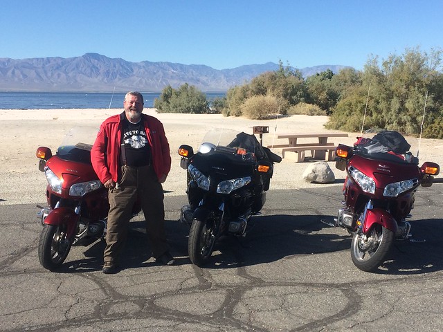
Once into the Coachella Valley, what had been isolated farm towns gradually congealed into one long strip city, with stoplight after stoplight, all of them red. The townships we passed through went from redneck to white collar to immense wealth, and when we started to see streets named after Bob Hope and Dinah Shore we knew we were in Palm Springs.
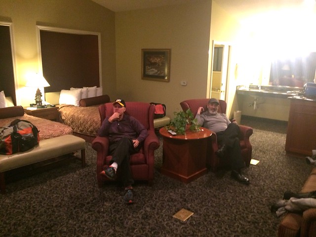
Past Palm Springs, we were once again in open country and could speed up and enjoy the beautiful high desert. Our motel in Lone Pine was one of those older 1950s-style jobs, with huge rooms and big showers. Ed & Steve shared a suite but I had my own room. I would happily stay there again.
Day three was Death Valley. We entered the national park from the west, descending through Panamint Springs to Furnace Creek, then exiting at Shoshone before proceeding south to Interstate 15 at Baker, California, then on to our third night’s destination, a motel in Lake Havasu, Arizona.
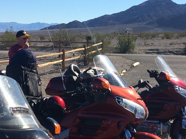
It was very cold, just above freezing in fact, when we left Lone Pine, and for the first time on the trip we had on all our cold-weather gear. Halfway down the mountain into Death Valley, we stopped at a viewpoint and stripped down to summer gear. I wanted to stop for a photo op at a 200-feet-below-sea-level sign I’d heard about, but though we were definitely down that low we never saw the sign. I did, however, take a photo of the first sea level elevation sign we came across, at a little tourist stop in Panamint Springs. You can see it across the road in this photo.
Shoot, the spot at the Salton Sea where Ed took that photo of me was 190 feet below sea level, at least according to the altimeter on my GPS, and that’s right down there with most of DV.
Riding through DV, I saw a gas station near Panamint Springs advertising regular at $5.48 a gallon (just imagine how high it must have been back when gas was over $4/gal elsewhere in California). The tourist place where I took the sea level sign photo was selling gas at $3.54/gal. Because of the distances involved (we had filled up that morning in Lone Pine) we were low on gas exiting DV. Based on gas prices dropping from $5.48 to $3.54 as we moved from the middle toward the southern edge of DV, I expected they’d continue to get lower, but boy was I wrong. We had to pay $4.58/gal in Shoshone, several miles outside the national park.
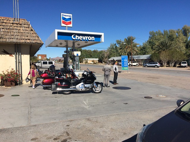
In the freeway town of Baker, California, Ed’s GPS led us astray. Lake Havasu, Arizona, our destination that day, was a hundred straight-line miles to the southeast. Ed’s GPS insisted it was 250 miles away, and wanted us to head southwest. Had we had the sense to look at a paper map, we’d have seen the correct & shortest route, the one the GPS apparently didn’t believe existed: east on I-15 from Baker to the Nipton, California exit, over a mountain to Searchlight, Nevada, then down Highway 95 to Lake Havasu. Instead, we followed the GPS south and west on I-15 to a point near where it merges with I-40 at Barstow, California, then reversed direction to go east on I-40 to Hwy 95, adding 150 miles to our trip. At over 450 miles, day three was our longest day in the saddle.
Tell you what, if you really want to explore DV, you need two days … book a motel on either the California or Nevada side for two nights and take your time! We felt a little rushed, but we did see and experience quite a lot of DV on day three.
I mentioned the temperature rising as we descended into Death Valley, but I should clarify we’re talking about highs in the 70s, not the killer 130s typical of DV in the summer. From day one through day three, we could not have had better weather.
Our motel in Lake Havasu was a bit of a letdown. Ed’s favored motel, the one we’ve stayed at before, sits at the foot of the famous London Bridge. This time it was booked and we had to stay in a run-down Rodeway Inn instead. The restaurant next door was no great shakes for dinner, and there was no breakfast in the morning. On the other hand, our last day’s ride was a mere 300-miler, and we figured we’d be home in Tucson by 2:30 in the afternoon. Turned out we were right on the money: I pulled into my driveway at precisely 2:30.
When we left Lake Havasu yesterday at 8:00 AM, the skies were no longer blue but overcast in all directions, with rain here and there all the way home. The day started with temperatures in the 50s and never really warmed up. Just a few miles south of Lake Havasu we had to pull over and don our cold-weather gear again. The heaviest rain we experienced was around Gila Bend, about 100 miles from home. Steve to put his rainsuit on when we stopped for lunch, but Ed and I decided not to and didn’t get too wet—when you’re moving along on a Goldwing, you sit in a little cocoon of dry air behind the fairing and windscreen. Rain on the visor, yes, but not on the body. Stopped or putting along at low speeds is when you get wet.
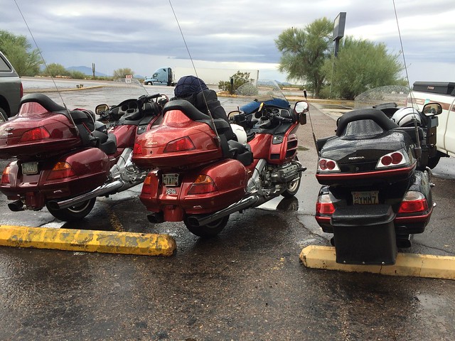
All in all, it was a great ride with old and new friends. Only one cager tried to kill me (an Escalade driver suddenly swerving into my lane in Palm Springs). The bikes ran perfectly and the weather was ideal. We saw a lot of cool stuff. You know what was best? The smell of the rain coming into Gila Bend. You don’t get the smells, or the small changes in temperature as the road goes up and down, when you’re in a closed car. You get the full sensory input on a motorcycle—including the smell of cow shit when you’re riding through farm country—but that’s an experience too, and one we enjoyed to the fullest during our first two days.
Time now to start planning my next motorcycle adventure!